Basic Information
Region: Ústecký
District: Děčín
Founded: in the second half of the 18th century
Promoted to a township: 5th of June, 1870
Connected to the railway network: 16th of January, 1896
Altitude: 426 meters above sea level, the mountain Vlčí Hora is 581 m above sea level.
Area: 3,140 hectares
Inhabitants as of the 12th of December, 2012: 3,601
Location: between the Lužické Hory landscape park and the České Švýcarsko National Park
14° 30‘ w. l. (west longitude) (just as Naples, Malta, Congo, Sweden)
50° 54’n. l. (north latitude) (just as Brussels, Bonn, London, Kiev)
Contact address: Municipal Department Krásná Lípa, Masarykova Street 246/6, 407 46 Krásná Lípa
Phone number: 0042 - 412 354 820, 777 938 829 (filing office)
Fax: 0042 - 412 354 821
Electronic filing office: podatelna@krasnalipa.cz
Data box ID: upqbde3
Company registration number (IČ): 00261459
Tax identification number (DIČ): CZ00261459
Bank accounts:
- ČSOB 109634816/0300 – This account is for dues sent for gathering, collecting, transportation, sorting, usage and removal of community waste within the Krásná Lípa city limits.
- ČSOB 193582042/0300 – This account is for paying estate rent, dog fees, apartment annuity payments, commercial premise rent, and other payments.
- ČSOB 198889385/0300 – This account is for sending apartment rent, including services and service statements.
- An assigned payment reference number needs to be filled in for payment identification. You may find this number in the assessment, contract, or decree.
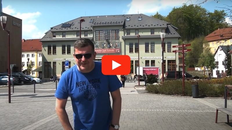
Krásná Lípa from a Bird’s Eye View
Watch this short informational video to learn many important things about the town of Krásná Lípa.
The National Park České Švýcarsko – Landscape Full of Mystery
 Čeština
 Deutsch
 English


