Significant Places
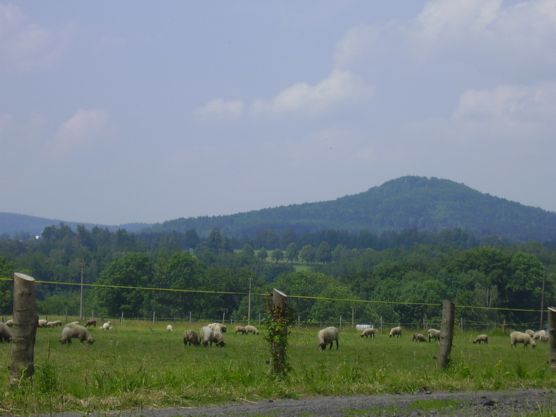
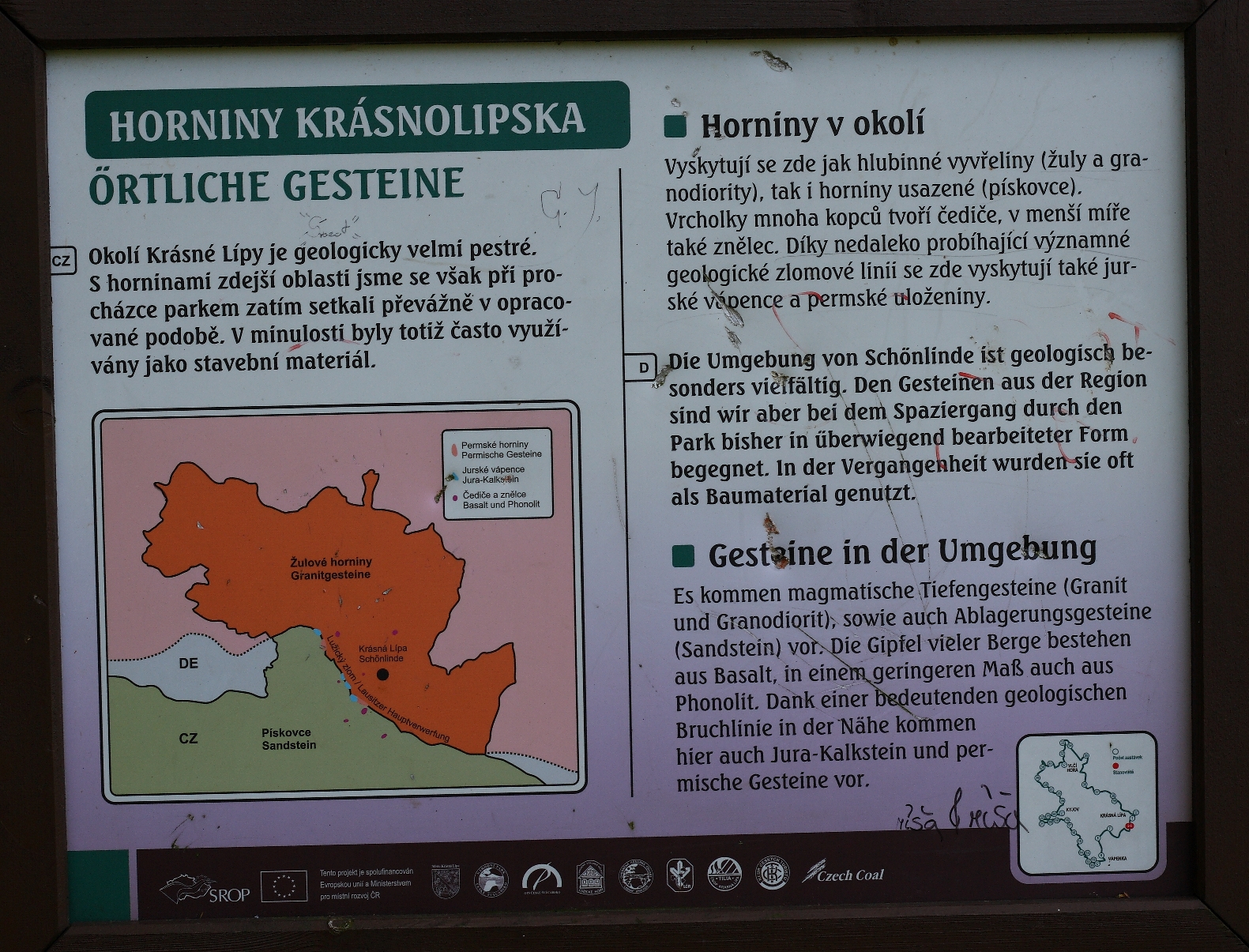
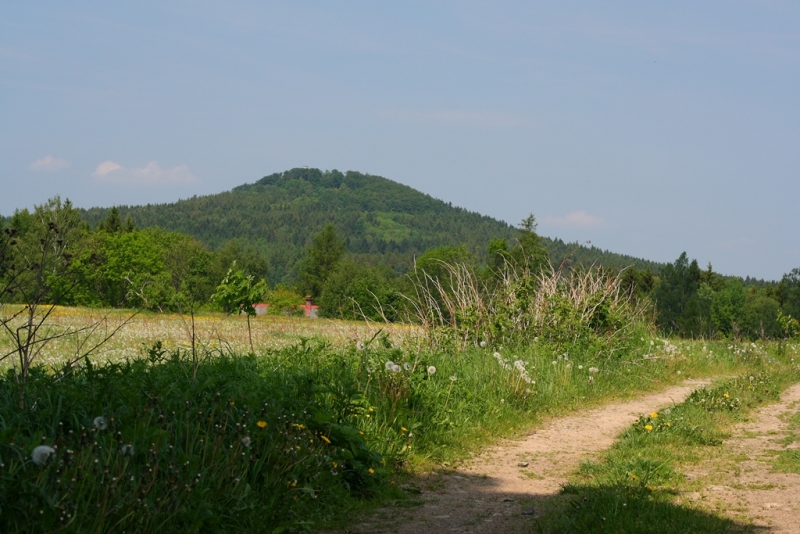
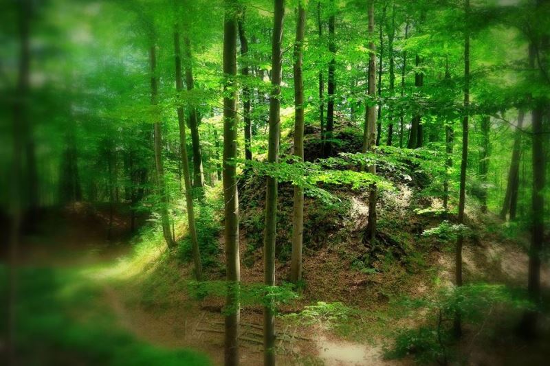
The northwest hillside of Kamenná Horka offers a view over Krásná Lípa and also shows the gentle ups and downs of the Šluknovský promontory and the Lužické Hory located in the southeast. The undulation is moderate due to the foundation of the Šluknovský promontory, which is very resistant granite.
Towards the southwest, the view opens over the noticeably higher peaks of the Lužické Hory, which came about as result of tertiary volcanic events. They are mostly made of clinkstone and basalt. We can identify igneous basalt rocks at the top of Kamenná Horka. There used to be a basalt quarry where basaltic columns were mined.
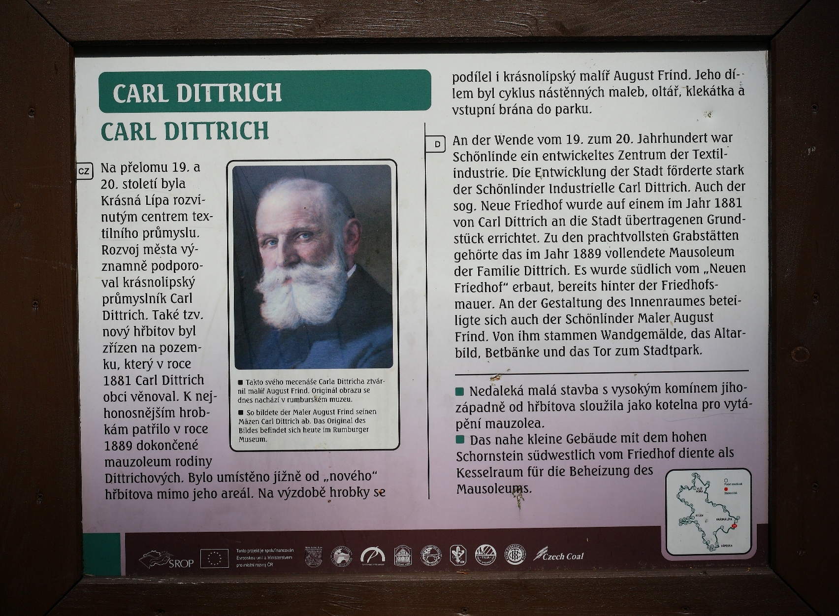
In its best years, Krásná Lípa was well-known for the layout of its park. However, available sources do not offer much information about the park's establishment. It was initially established between the years 1888 and 1889 as a private park surrounding the Dittrich family's mausoleum. The tomb was built around the same time. The current, native landscape look of the park and the arrangement area come from more recent years. After The Second World War, the park became desolate and turned into an unkempt forest. During these years, self-seeding spread, the clearings and paths became overgrown, suppressing the less aggressive woody and herbaceous plants.
Contemporary gardens reconstruction, which was performed between 2004 – 2006, divides the original park into two connected sections: the town's park and a forest park. The numerous and inconvenient self-seeding woody plants were removed, and the shrubby level was restored as a priority. Overall, 540 trees and 22,989 shrubs were planted. The assortment of plants was increased in both parts by more than 300 new types and varieties.
The park is connected directly to the town and its graveyard. Behind its central clearing, the park changes to the forest park. It is a continuation of the town’s greenery. In addition to the domestic plants, which create the for the park's layout, many exotic plants can be seen. Often the exotic plants can endure the sometimes less than favorable urban habitat conditions better than certain types of domestic flora. They also make the park more varied and improve the aesthetic quality of the park, which should be a living botanical schoolbook about native and exotic vegetation.
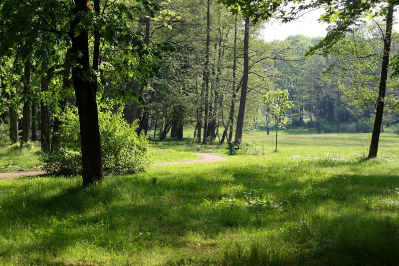
The forest park is one of many conservation forests, whose purpose is not wood production but has other functions that are essential to society. Therefore, it requires unique management methods. In our case, the forest fulfills a recreational purpose, in a way that is freer and closer to nature. It was established in the rear part of the original town park. With only a few exceptions, it mostly consists of indigenous plants. Most of the unsuitable plants have been removed, and space was cleared, especially for the native plants (mainly shrubs) and herbs. This modification, along with the adjacent city park, makes up a continuous unit with an area of 10.6 hectares.
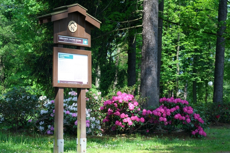
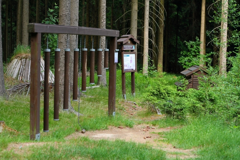
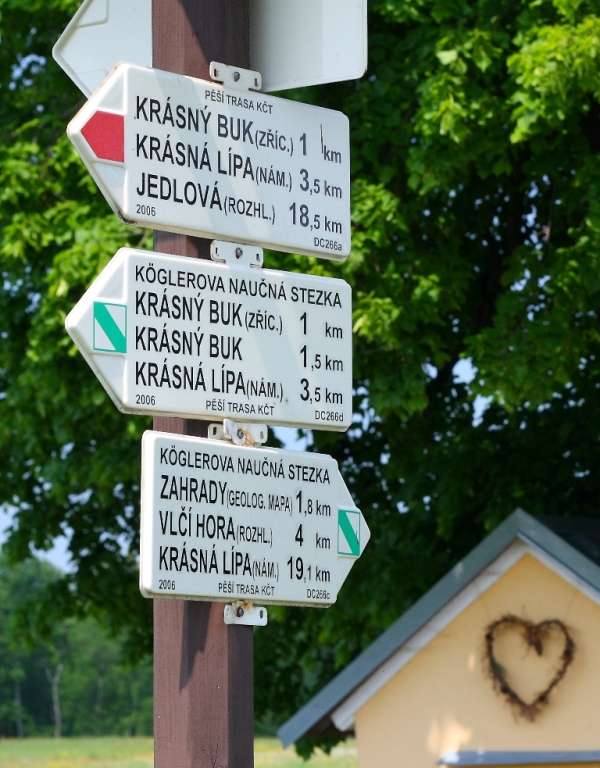
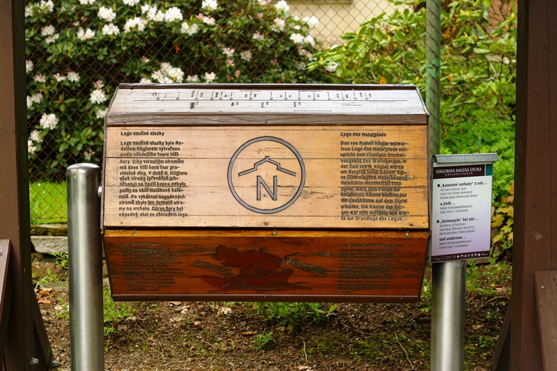
Kögler’s educational nature trail goes through the town park and the forest park; its first station begins right here.
“Oko” (“Eye”) Pond
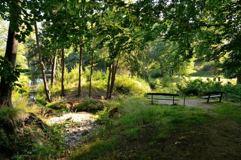
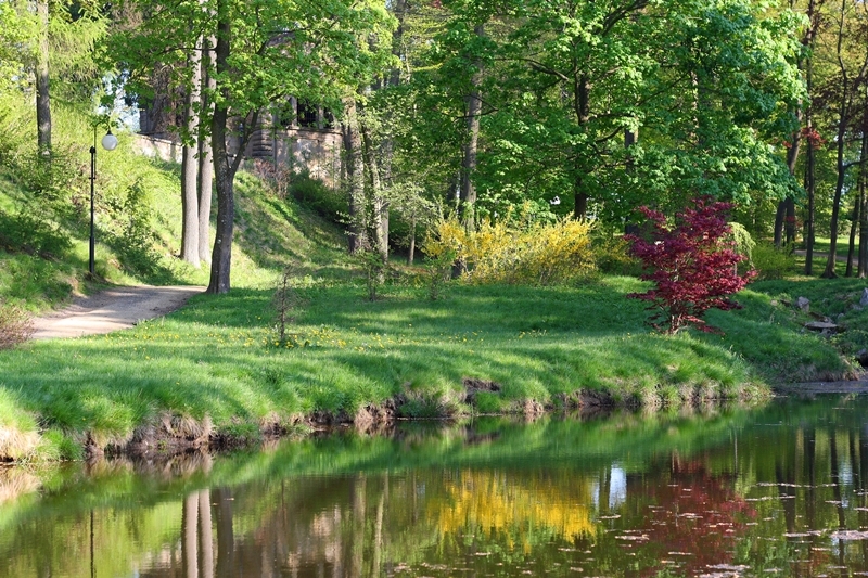
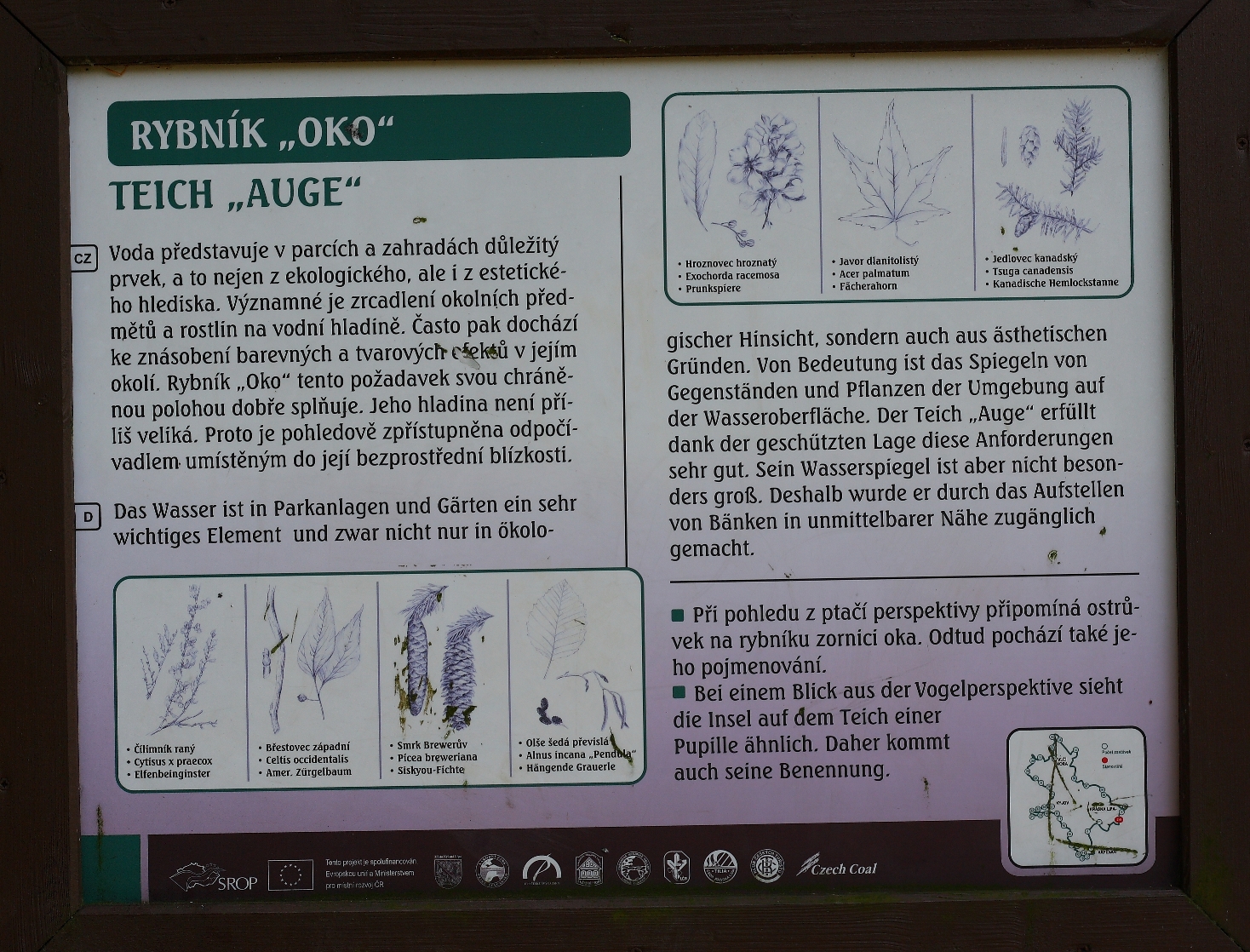
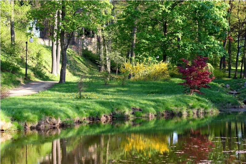
Water represents a very significant element of the parks and gardens not only from an ecological but also an aesthetic perspective. Watercourses, cascades, and waterfalls can enliven a given landscape. One of the significant effects of water is how it mirrors the surrounding objects. Mirroring multiplies the colors and shapes of the water's surroundings. For this, the water's surface should be rather still. The pond Oko meets this condition well with its sheltered location. The surface ripples slightly with the wind, which enlivens the whole vicinity. The mirroring effect is not so extensive, as this modest body of water also has an islet in the middle. The surface of Oko can be seen from a nearby a rest area.
Indigenous vegetation, predominantly domestic, woody plants, is situated in the background above the pond, on the hillside to the left below the graveyard, and on the islet. New plants such as the common hackberry (Celtis occidentalis), which makes its home along the river banks of North America, is visible on the left bank from the rest area. One can also see a weeping spruce (Picea breweriana) originally from the northwestern region of the United States, and just a few meters behind and right on the bank of the pond, a Japanese maple (Acer palmatum 'Atropurpureum'), whose species comes from Japan and Korea. Weeping willows (Salix x sepulcralis 'Tristis') were planted on the right bank. On the islet itself, some older Canadian hemlock specimens (Tsuga canadensis) from North America stand out among a variety of newly planted, overhanging, domestic Czech gray alders (Alnus incana 'Pendula'). In contrast, a dappled willow (Salix integra 'Hakuro-Nishiki'), provides a white covering, and a variety of yellows from a Warminster Broom (Cytisus x praecox) add color to the scene. A broad band of flowering shrubs ensures a certain intimacy for the rest area. One of the shrubs is a pearlbush (Exochorda racemosa) with white blossoms that comes from China. In front of the growth is a shrubby cinquefoil (Potentilla fruticosa), which blooms yellow, wedged among them grows a Walter pine (Pinus sylvestris 'Watereri').
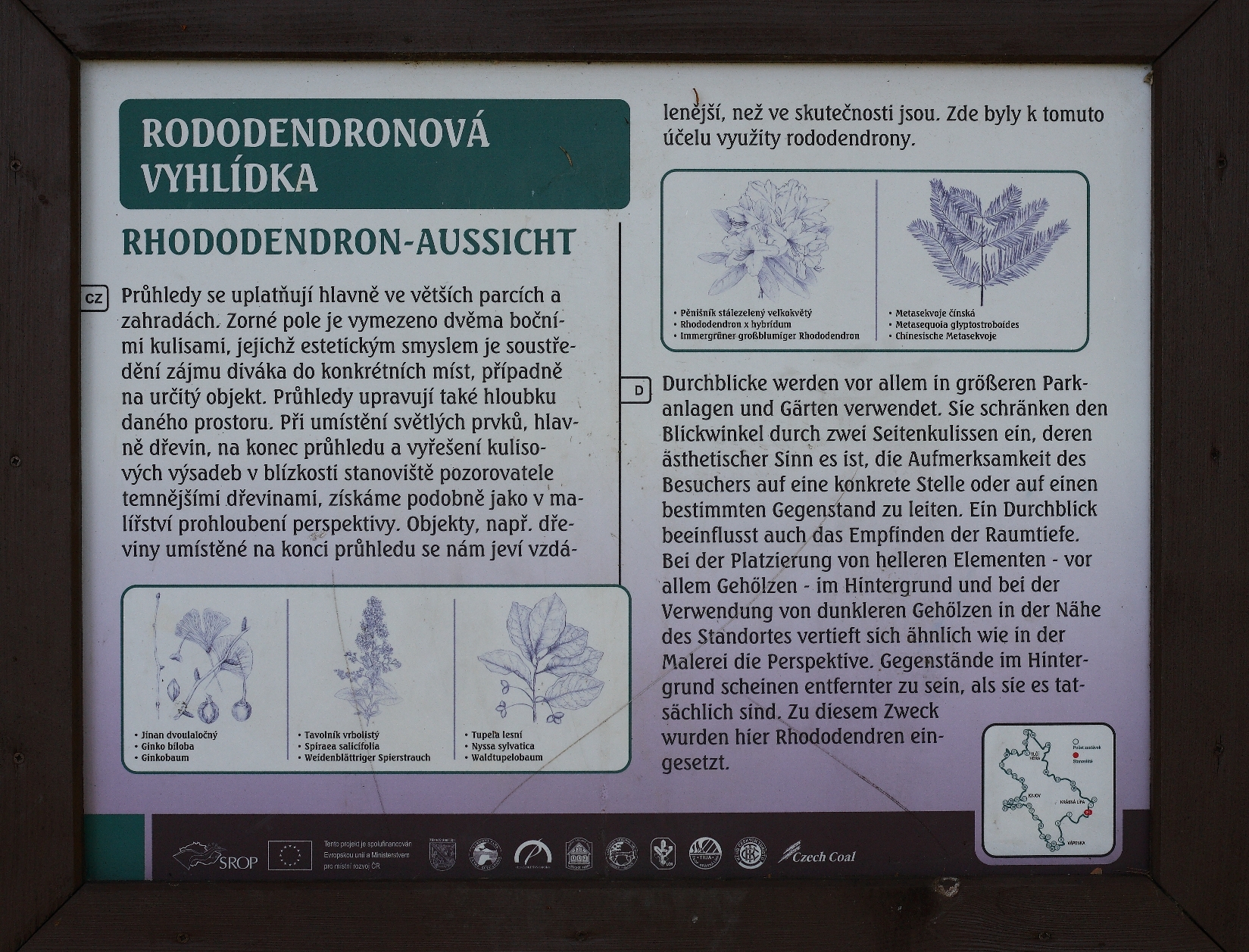
Rhododendron Lookout
Apertures are used in most of the parks and gardens. The visual field of the aperture is framed by two coulisses, whose aesthetical purpose is to focus the viewer on a particular area or a particular object. When placing lighter elements, especially woody plants, at one end and darker plants closer to the viewer, the effect is a deepened perspective, such as one would find in painting; the plants placed on the end of the lookout seem further than they are. The vista takes on the effect of a picture framed by trees.
The lookout from the rhododendron rest area is lined with darker green coulisses of mature trees, mostly spruce, and dark, evergreen rhododendrons. On the right side, a lighter ginkgo tree (a living fossil, a relative of the species grew in Europe more than 30 million years ago), brightens this dark space. The lookout ends with flora that gives a light impression, mainly weeping willows (Salix x sepulcralis 'Tristis') lined with dawn redwoods (Metasequoia glyptostroboides, first discovered in China in 1941) in the background. Three specimens of black tupelo (Nyssa sylvatica) from North America, which gladly grow in damp or swampy conditions, were planted in the foreground; they blossom red in the fall. Pink and red blossoming willow leaf (Spiraea salicifolia) has been planted under this whole group of trees.
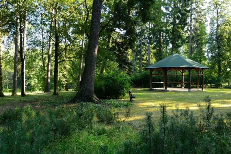
Tree and shrub coulisses hem off the rhododendron rest from the gazebo on the left side. The gazebo is intended for social events (concerts, performances, and so on). This part of the park creates a separate area that won't disturb the view down into the meadow. The lawn of the outlook is unbroken and undisturbed by any woody vegetation.
Forest Park
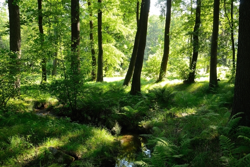
Forest parks belong in the category of recreational forests. Many times this title can apply to rural forests. These forests require careful management. Their purpose is not wood production, but firstly, their functions are recreational, educational, aesthetic and biologically healthy. We can find properly built, 'riprap' cobblestone paths, benches, and rest areas. The forest park of Krásná Lípa was made from the back part of the original town park and smoothly blends into it. It spreads out behind the central clearing and above the pond “Oko.” It is a little bit further from the town and in its upper part borders the open cultural, and agricultural landscape. This area laid fallow with a lot of natural seeding, mostly alder and ash trees. Meticulous thinning allows the shrub level to recover naturally. This level was completely missing before, and there is a chance that the herbal level will improve. Many plants, such as the European elder, were removed from the natural seeding. Nettle, goutweed, gallant soldier, and so on, were also removed. In this area, we can find many indigenous trees and shrubs. There are, however, some exceptions, such as the copper beech, silver maple, pin oak, columnar English oak, and Canadian hemlock trees. These exotic plants grow in the park's lower section. They are a remarkable remnant of the park's original remodel, which does not intrude on the character of the park. In essence, we are talking about a mixed forest with elements of bottomland flora in the lower parts, and also elements of beechwood and oak in the upper areas.
In this upper region, we can find the following vegetation: Norway spruce (Picea abies), field maple (Acer campestre), Norway maple (Acer platanoides), sycamore maple (Acer pseudoplatanus), black alder (Alnus glutinosa), silver birch (Betula verrucosa), European beech (Fagus sylvatica), English oak (Quercus robur), goat willow (Salix caprea), European Rowan (Sorbus aucuparia), and more. Very often ancient representatives of these trees appear. We can also find complimentary, planted trees, such as the silver fir (Abies Alba), European larch (Larix decidua), Scots pine (Pinus sylvestris), common yew (Taxus baccata), sessile oak (Quercus petraea), wild service tree (Sorbus torminalis), and others. The missing shrub level was carefully supplemented with common hazel (Corylus avellana), February Daphne (Daphne mezereum), common ivy (Hedera helix), Mountain Rose (Rosa pendulina), red elderberry (Sambucus racemosa) or guelder rose (Viburnum opulus). The herbal level is characterized by water avens (Geum rivale), Whorled Solomon's Seal (Polygonatum verticillatum), Black Matipu (Majan themumbifolium) and others. Other herbs will inevitably spread and brighten the unbefitting woody plants.
One of the most interesting places on the Kögler’s nature trail is without a doubt Vápenka. In times of old, rocks gradually sedimented in the horizontal strata. That is how the Permian rock layer came into existence, which was covered by Jurassic sea sediment, mainly limestone. In the Cretaceous period, everything was covered by a layer of sandstone. In the Tertiary season, veins of basaltic magma perforated to the surface. As a result of Lusatian massif movements, the rocks from earlier geological seasons were dragged out on the southern sandstone locations on the Lusatian fault line. The continuous pressure initially erected horizontal layers of limestone and on some spots even overturned them.
This rare deposit of limestone was a welcome raw material, and therefore limestone mining began as early as 1641. The mined limestone was used for fertilization, and burnt lime production was employed in the construction field. Saxony was supposed to be the primary purchaser. Between 1868 and 1869, the owner of the province had a limekiln and a house built for the lime maker. We can still see these two buildings from the road that leads to the stone quarry. Two quarries were established due to mining, the “Old” quarry and the “New” quarry. The material, crushed limestone, was transported via pushcarts through two transportation tunnels directly into the stone kiln's hopper. One of the tunnel openings can be seen well from the road leading to the quarry, but it is sealed with iron bars. During the mining works, leaden ore was discovered. Because of this, miners from Příbram were called up, and they began to mine lead. At a depth of 34 meters, not only did the miners find lead, but also traces of silver, copper, and zinc. This geological survey cost the then-owner Kinský 14,000 gold coins. The mining works were, however, abandoned due to a series of obstacles.
Limestone mining ended in 1929. At that time, the bare rocks could be observed very well. Now, vegetation all but completely covers the quarry walls. The northern wall of the Old Quarry consists mostly of whinstone and volcanic breccia. When the glowing liquid mass of basalt was spreading some of the surrounding rocks fell into it were permanently fixed in that place. The local basalt also consists of bright black amphibole crystals. Contrarily, in the new quarry, we can find a noticeable layout of limestone layers.
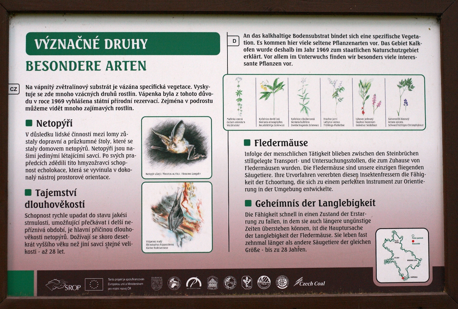
There is distinct vegetation fixed to the weathered calcareous substrate. A lot of rare plant species occur there. Therefore, Vápenka was declared to be a national nature reserve. Largely in the undergrowth, we can observe a lot of interesting plants.
Early in the spring, sometimes even under the snow, the red blooms of February Daphne (Daphne mezereum) come into blossom. Its fruit, as is its leaves and bark, are poisonous; consuming these berries can lead to death. A favorite medicinal herb, common lungwort (Pulmonaria officinalis), also grows here. Its bloom is primarily red, and later mauve. Coralroot (dentaria bulbifera) and Drooping Bittercress (dentaria enneaphyllos) are also among the early blossoming flowers that grow here. Eurasian baneberry (Actaea spicata) is fascinating, mostly because among the delicate blooms we can observe bean-sized, black, and poisonous fruit. Sweetscented bedstraw (Galium odoratum) and Lily of the valley (Convallaria majalis) come into bloom a little bit later. Among other notable herbs, we can also find Paris (Paris quadrifolia), its four, cross-placed leaves with a small blossom in the middle, which eventually becomes a rather poisonous fruit.
In addition to the beautiful plants, an extensive range of animal species can be found. The former quarry has become a home for bats; they are our only flying mammals. They inherited echolocation from their ancestors, which developed into an excellent tool for spatial orientation. Because of their ability to go into hibernation, which allows them to endure unfavorable seasons, they tend to live for a long time. They can live almost ten times longer than other mammals of the same size. The females give birth to one or two baby bats in the summer shelter. Mating mostly occurs during the autumn migration to the winter hibernation den. They survive the winter in hiding places that have higher humidity and a temperature that stays above zero degrees Celsius.
Since 1986, bats in Vápenka have been regularly counted. Both their population and species composition have significantly fluctuated. This could have been caused by the public having, until recently, free access to the caves and occasional flooding as a result of cave-ins. In the autumn of 2004, those shortcomings were removed. These species of bats were identified: Daubenton’s bat (Myotis daubentonii), Natterer’s bat (Myotis nattereri), the brown long-eared bat (Plecotus auritus), the endangered mouse-eared bat (Myotis myotis) and the critically endangered lesser horseshoe bat (Rhinolophush ipposideros).
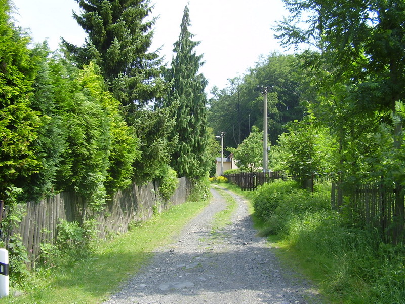
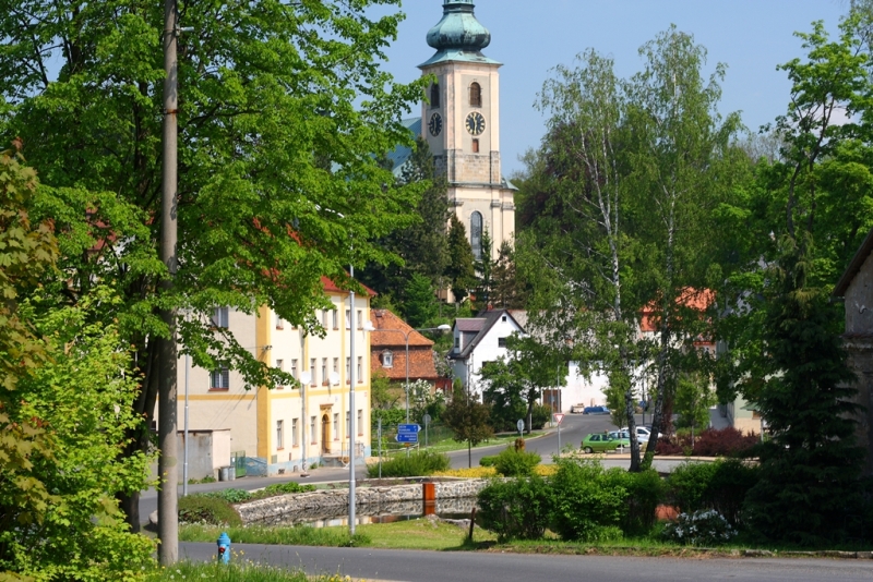
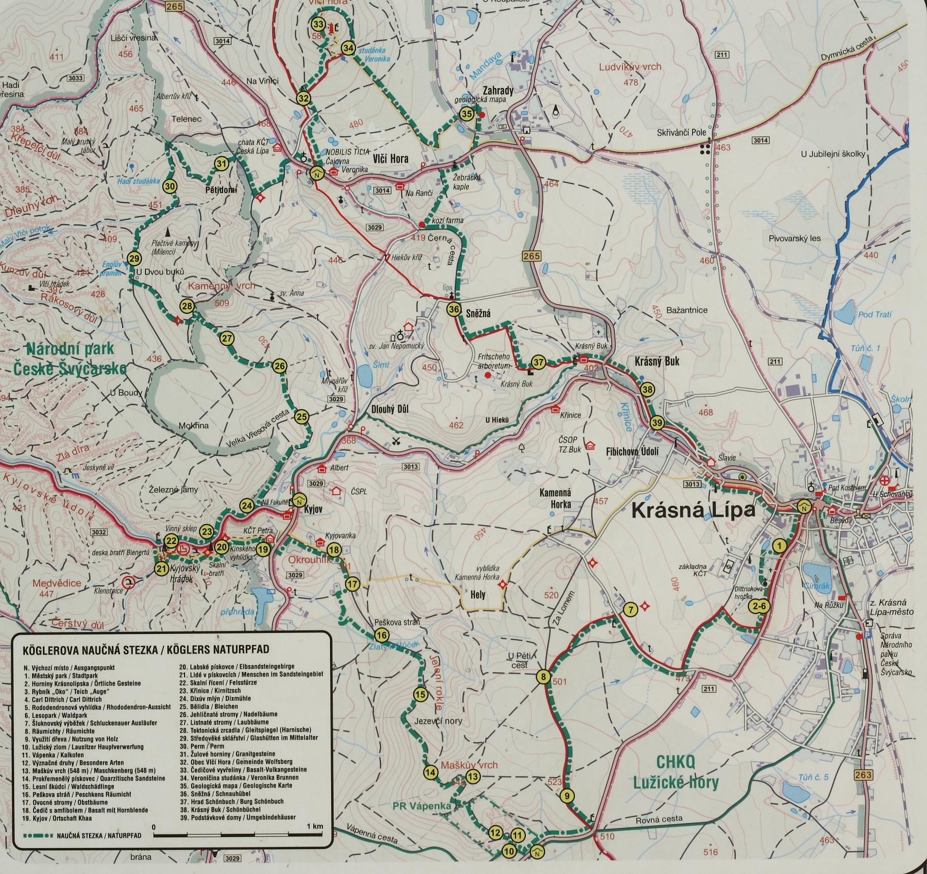
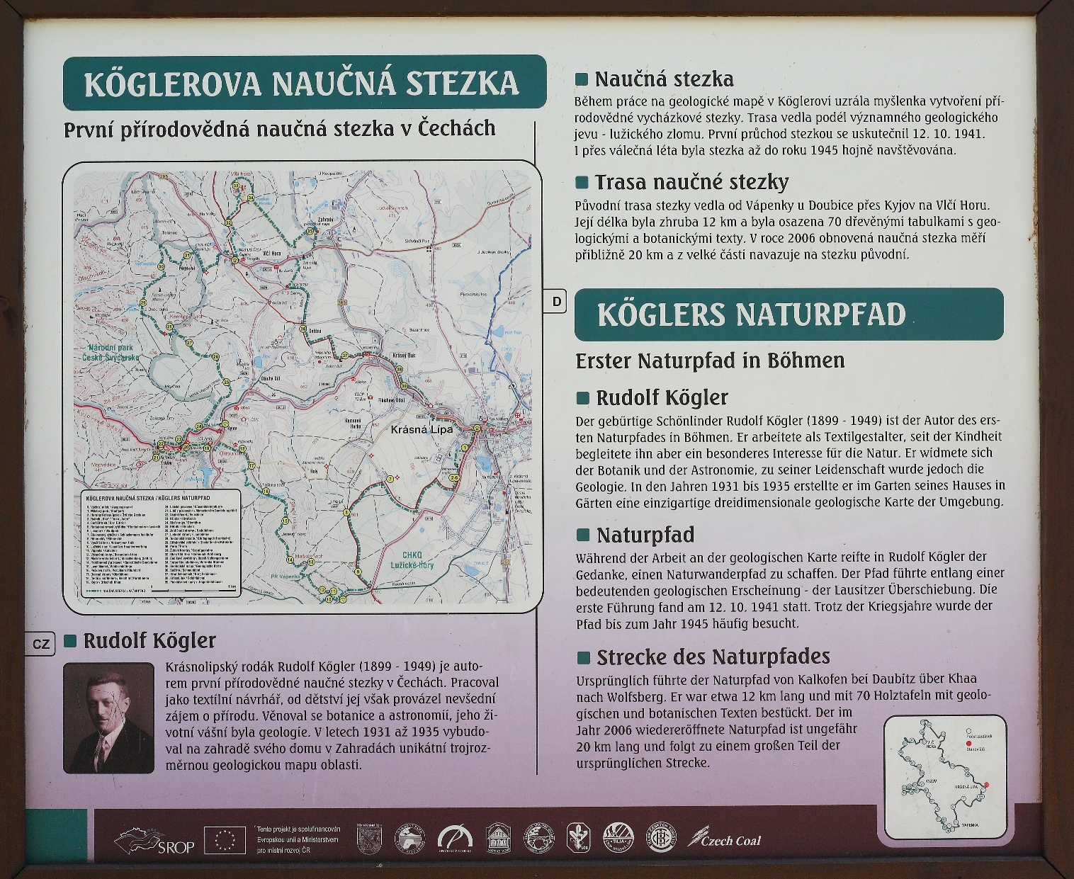
The path begins in Krásná Lípa with sightseeing in the reconstructed town park. The route then continues to the top of Kamenná Horka with a beautiful view over the Šluknovský promontory and České Švýcarsko. The trail continues to the former limestone mines close to Doubice along the Lužický fault to Kyjov, then over Vlčí Hora and Zahrady back to Krásná Lípa. The entire trail includes forty different posts. These stations have various activities. We can see a replica of a charcoal kiln or a unique geological map in Zahrady. There is plenty of interesting information about the local landscape and its history.
The original trail was projected and completed in the thirties by a native of Krásná Lípa, Rudolf Kögler. Unfortunately, it ceased to exist after The Second World War. It was not possible to restore the trail until 2006, thanks to the project “Center of České Švýcarsko,” which included four other buildings (the Visitor’s Center, The Center for Services, the Sports Compound, and bike paths). This project was financed using EU funds and money allowed from the state budget in the total amount of 160 million Czech crowns.
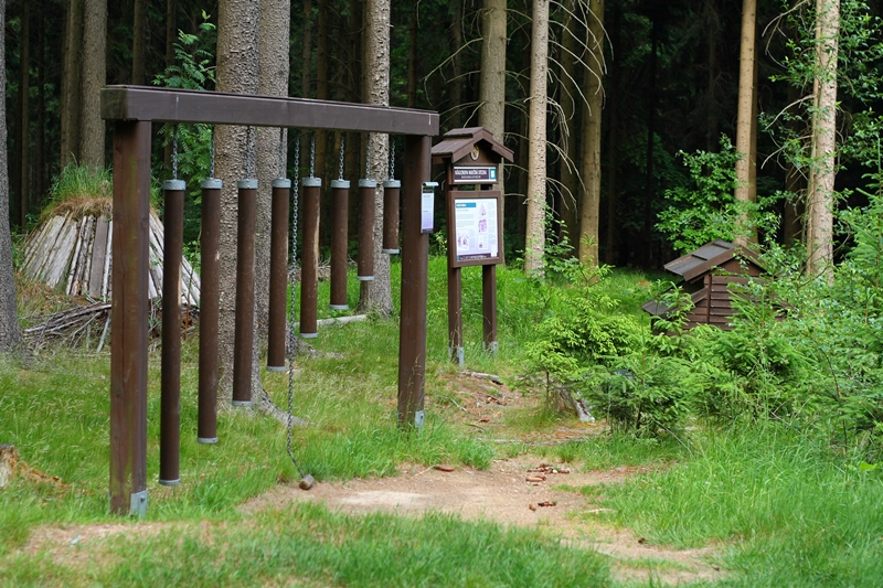
Small chapels and crosses, stairs, paths and even natural springs along the trail have been repaired. Information boards, displays, gazebos, and rest places have been built. The geological map in Zahrady lived to see its reconstruction as well. During the reconstruction, Krásná Lípa's town hall cooperated with the following organizations: the descendants and inheritors of the Rudolf Kögler Czech Tourism Club in Krásná Lípa, Forests of the Czech Republic – the forestry office in Rumburk, the Nature Conservation and Administration for Labské pískovce and the Lužické Hory, the Administration of the National Park České Švýcarsko, the firm Konstruktiva Konsit, translator Tomáš Salov the owners of the involved estates, and many other institutions and people.
The trail can be divided into several stages, and so it can be experienced even with children in about two days or more. At the town's information center on Křinické square, you can buy a Czech or German guide for the trail, as well as a very detailed map of it.
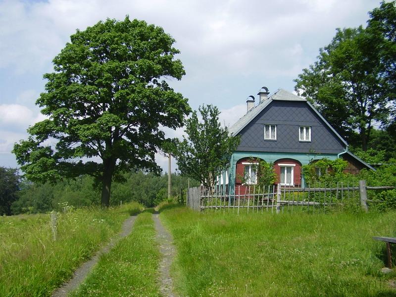
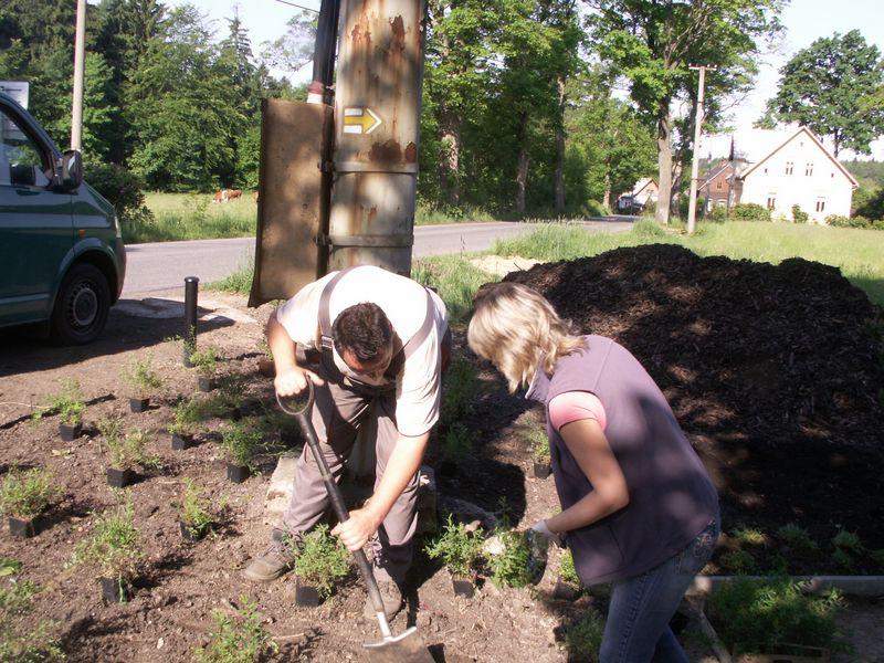
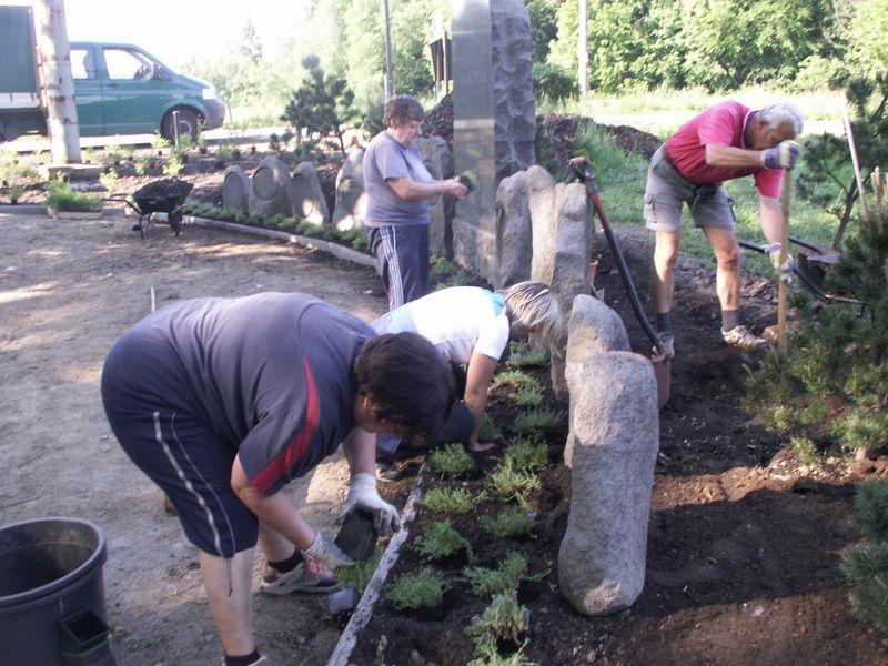
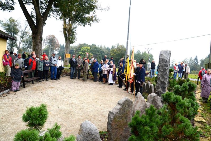
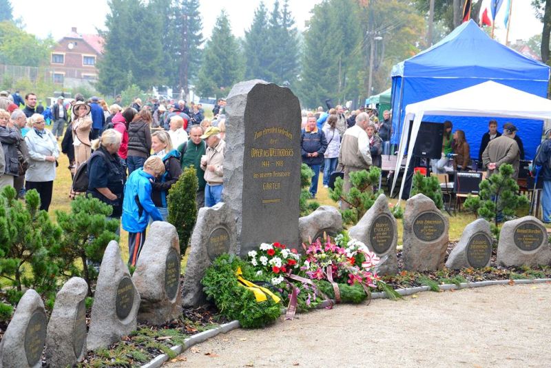
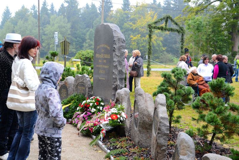
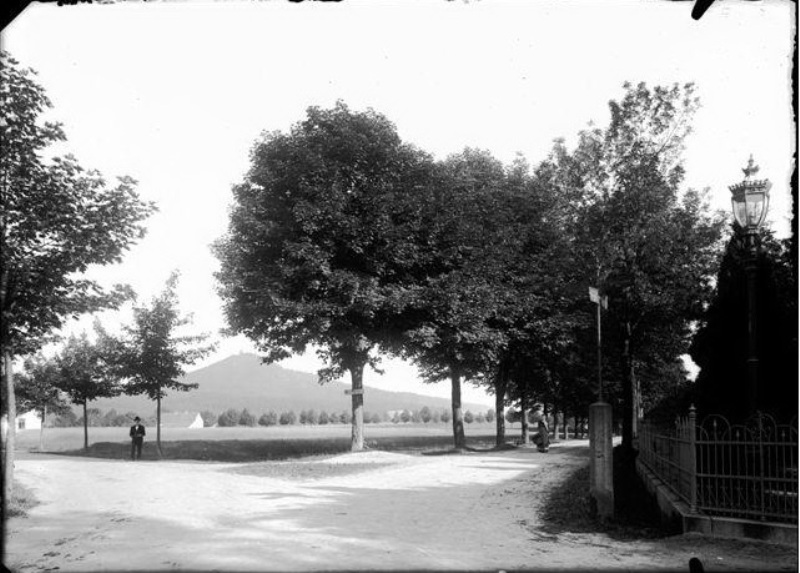
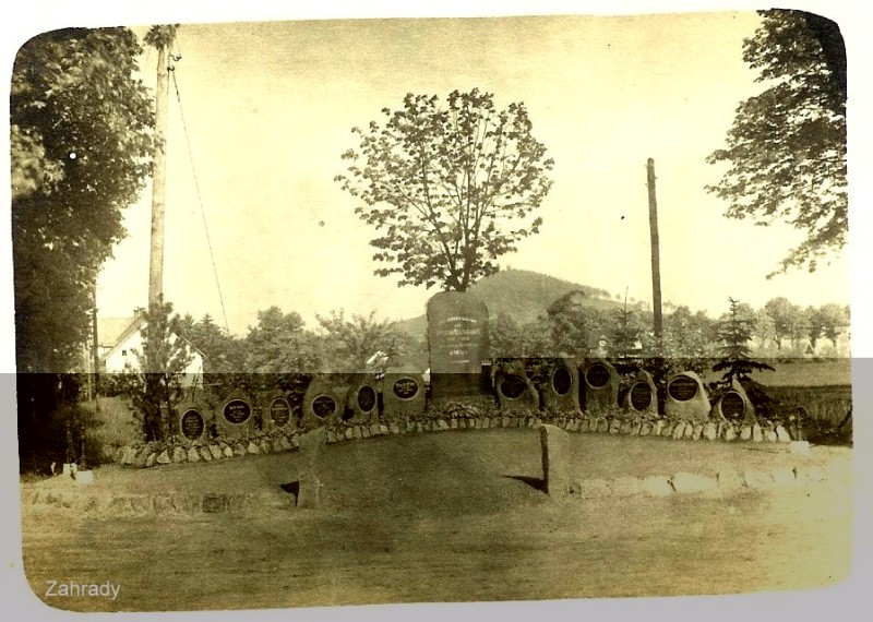
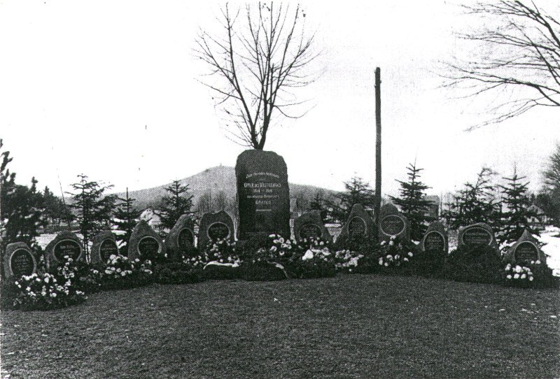
The monument in Zahrady (originally unveiled in 1992) was situated at a crossroad of two roadways that lead to Vlčí Hora and Staré Křečany until the 1960's. In 2012, it was restored, thanks to the personal enthusiasm of the members of The Czech Tourism Club in Krásná Lípa, in cooperation with Krásná Lípa, after fifty long years. Because of this joint initiative the original stones, which had been deposited in the graveyard in Sněžná, were returned. The place persevered to see the orchard improvement, as per Ing. Karel Hieke project. The pictures below show the history, work on the memorial, and its ceremonial reopening on the 22nd of September, 2012.
 Čeština
 Deutsch
 English


